Manteo AI
Earth Observation Made Easy
Profile
Legal Name
Manteo AI P.C.
Tagline
Earth Observation Made Easy
Details
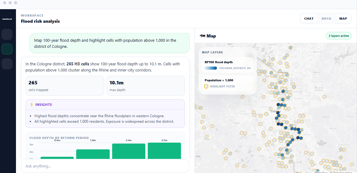
Manteo AI develops AI-powered geospatial intelligence tools that make Earth Observation and spatial data easier to use. Our mission is to help organisations turn complex geospatial datasets into clear maps, analytics and decision-ready insights without requiring advanced GIS or coding expertise. We combine expertise in artificial intelligence, remote sensing and geospatial data engineering to support applications such as environmental monitoring, climate risk, infrastructure analysis and regional planning.
Classification
Type
Private Company - SME
Size
Micro (2-10 employees)
Category
AI/ML & Data Platforms for Space, Climate & Environmental Intelligence, Data, Applications & Digital Services, Earth Observation & Geospatial Analytics
Value Chain Position
Downstream
Map
An interactive map showing the organisation's location will appear here.
Send Message
Your Name
Your Email
Subject
Your Message (optional)
Send Message
Contact
Website
https://manteo.ai/
CONTACT Email
info@manteo.ai
CONTACT Phone
Address
Iakinthon 11
Pallini Municipal Unit
Attica
Greece
153 51
International Presence
Strategic Focus
Strategic Priorities: Manteo AI’s strategic priorities are to strengthen its geospatial intelligence platform, improve the reliability and usability of AI-driven spatial analysis. Key R&D priorities include geospatial AI agents, data fusion, automated mapping and reporting, and more explainable analytical workflows. On the business side, the focus is on converting pilot use cases into recurring customer relationships, developing solutions for high-value environmental and infrastructure applications, and expanding through strategic partnerships and international markets.
Looking for Partnerships: Manteo AI is interested in partnerships with Earth Observation and geospatial data providers, research organisations, environmental and climate-tech companies, infrastructure and energy stakeholders, and system integrators. We are particularly interested in collaborations around data access, joint pilots, applied R&D, integration of geospatial AI into operational workflows, and the development of sector-specific solutions.
Background
Established: 2025-01-29
Projects & Missions: -
Key Customers: Manteo AI targets organisations that rely on geospatial and environmental intelligence, including energy and infrastructure companies, sustainability and climate-risk teams, insurers, public authorities, research organisations, and geospatial consultancies. The strongest fit is with customers that need to combine Earth Observation, public geospatial data and internal datasets to support monitoring, risk assessment and operational decision-making.
Affiliations/Memberships: ESA BIC Greece sI-Cluster HASI
Facilities: N/A
Application Domain
AI/ML & Data Platforms for Space, Climate & Environmental Intelligence, Data, Applications & Digital Services, Earth Observation & Geospatial Analytics
Follow
Twitter / X