GET MAP
Profile
Legal Name
GEOSPATIAL ENABLING TECHNOLOGIES S.A.
Tagline
Details
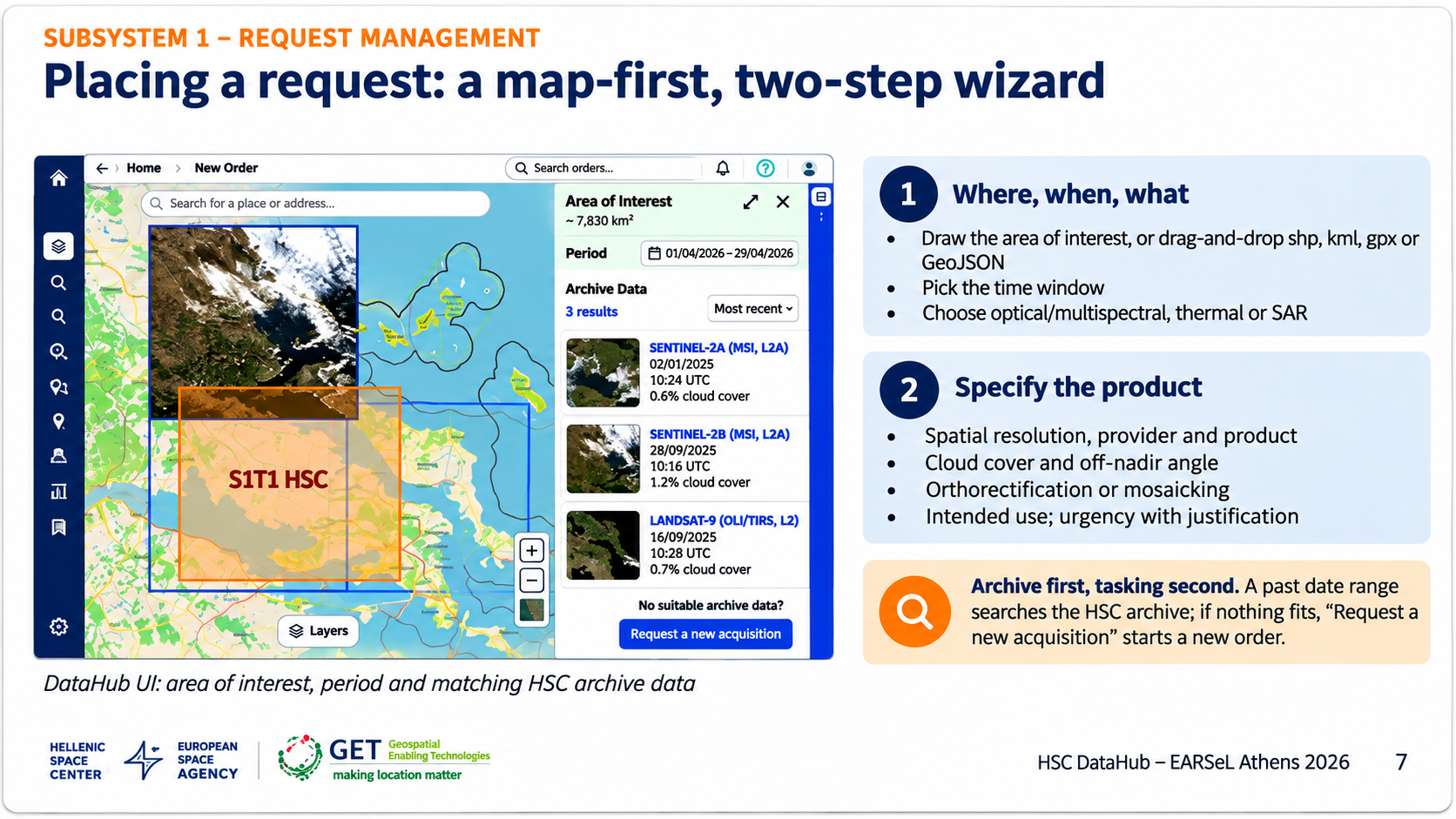
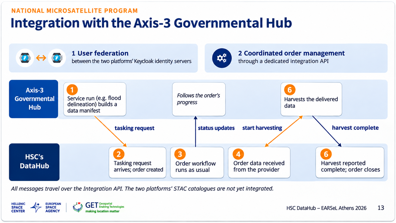
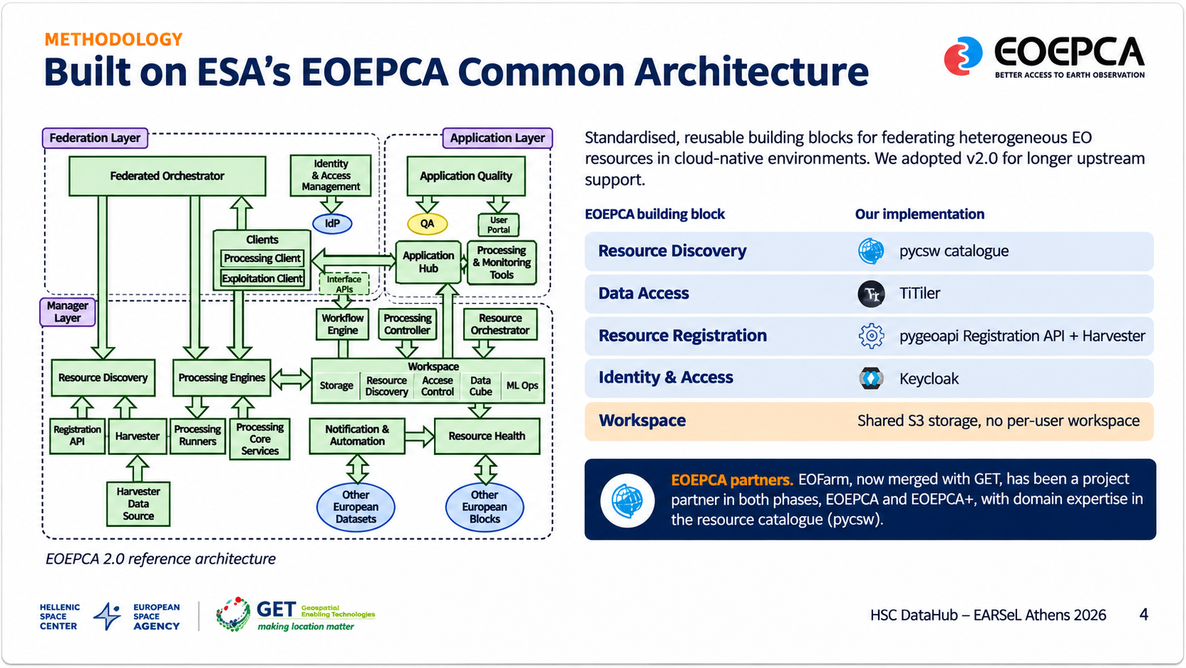
GET MAP (Geospatial Enabling Technologies S.A.) is a Greek SME, founded in 2006 and headquartered in Athens, specializing in Earth Observation (EO), geoinformatics and Spatial Data Infrastructures (SDI). Its mission, “Making Location Matter”, is pursued through open standards and free and open-source software. In February 2026 GET MAP announced the completion of a strategic agreement for the integration of EOFarm into its organization. This milestone marks the creation of the “New GET”, a stronger and more competitive corporate entity with a clear international orientation. EOFarm brings ESA experience since 2020 – domain expertise in the EO Exploitation Platform Common Architecture (EOEPCA, EOEPCA+), ESA’s Open Science Catalogue and EO-WIDGET – and a client base that includes ESA, DLR, WMO, EOX and Telespazio. EOFarm co-founder Dr Angelos Tzotsos, former President of OSGeo, is GET MAP’s Chief Geospatial Architect. Together, the two teams cover the full Earth Observation value chain on the ground: from payload data ground segment software, satellite tasking and mission planning, to EO catalogues, cloud processing platforms and AI-based analytics, and on to operational services for agriculture, the marine and coastal environment, civil protection and climate, forestry and infrastructure, built on Copernicus and commercial very-high-resolution optical, thermal and SAR data. In the Greek National Satellite Space Project, GET MAP along with EOFarm implements the satellite tasking functions that connect the Hellenic Space Center to the Axis-3 Governmental Hub (ESA contract 4000145360/24/NL/VA, with Planetek Hellas) and contributes to the Axis-3 Agriculture Monitoring Service (AgroHub). It also delivers the cloud, GIS and EO mission-planning service of the Hellenic Space Center, and Axis-2 demonstration cases with Open Cosmos Aegean. Results are published through standards-based catalogues and GET SDI Portal, the company’s open-source (GPLv3) geoportal framework with more than 80 installations. Since 2006 GET MAP has delivered more than 650 projects for public and private organizations in Greece and abroad.
Classification
Type
Private Company - SME
Size
Small (10–49)
Category
Agriculture, Energy & Natural Resources, AI/ML & Data Platforms for Space, Climate & Environmental Intelligence, Data, Applications & Digital Services, Earth Observation & Geospatial Analytics
Value Chain Position
Ground Segment – Infrastructure & Operations,Downstream
Map
An interactive map showing the organisation's location will appear here.
Send Message
Your Name
Your Email
Subject
Your Message (optional)
Send Message
Contact
Website
https://www.getmap.eu
CONTACT Email
contact@getmap.gr
CONTACT Phone
+30 210 6664192
Address
43 Poseidonos Ave. & Chr. Smyrnis
Moschato
Attica
Greece
183 44
International Presence
Strategic Focus
Strategic Priorities: Building on the integration of EOFarm, GET MAP’s strategic priorities are: • Sovereign EO data infrastructure: payload data ground segments and national data hubs – ingestion, processing, archiving, cataloguing and secure, low-latency dissemination of EO data • EO platforms and catalogues: open, standards-based building blocks for EO data discovery and exploitation (ESA EOEPCA+, OGC API, STAC, pycsw) • Exploitation of new very-high-resolution optical, thermal and SAR missions, using AI on big EO data to turn them into products and services for government and the market • Maritime monitoring and blue economy: EO services for the marine and coastal environment, aquaculture, fisheries and shipping • Civil protection and climate resilience: wildfire and flood risk, forecasting and digital twins for public authorities • Operational EO services across government: agriculture, water, forestry, infrastructure and environment • International growth: more ESA, Copernicus and Horizon Europe projects, and EO services for clients abroad • Open source and open standards as the basis of every solution (OGC, OSGeo)
Looking for Partnerships: Partners for national and European space programmes (ESA, Copernicus, Horizon Europe): satellite manufacturers and operators needing payload data ground segment, catalogue and data-dissemination expertise; system integrators and IT and cybersecurity providers for secure EO infrastructure; research centres and universities in remote sensing, oceanography and AI; and public bodies needing operational EO services. Also: EO data providers for integration into our services, and partners in maritime, civil-protection and digital-twin applications combining EO, in-situ and 3D data.
Background
Established: 2006-02-09
Projects & Missions: [Cloud Computing and Geoinformation System Service](https://www.getmap.eu/get-eofarm-undertook-the-new-project-of-the-hellenic-space-center-for-cloud-computing-and-geoinformation-system-service/?lang=en) (Hellenic Space Center). [Satellite Data Observatory](https://gis.crete.gov.gr/sdi/) (Region of Crete). [Open Environmental Data Portal](https://www.climatepiraeus.gr/parakolouthisi-perivallontos) (Municipality of Piraeus). [Frost Warning App](https://frost.minagric.gr/map) (Ministry of Rural Development and Food). [Innovative Atmospheric Satellite Data Exploitation System - AKTINA](https://www.getmap.eu/technology/research-projects/?lang=en/). [Environmental Observatory](https://satellite.agrinio.gov.gr/) (Municipality of Agrinio). [5D-ARCH-AID](http://5darchaid.getdata.gr/).
Key Customers: European Space Agency (ESA), Hellenic Space Center, Ministry of Digital Governance; space industry: Planetek Hellas, Telespazio UK, EOX, DLR, Open Cosmos Aegean, Space Hellas, Uni Systems, AgroApps. Public sector: Ministry of Environment and Energy, OPEKEPE, Hellenic National Meteorological Service, Regulatory Authority for Energy, Regions of Crete and Attica, more than 40 municipalities (incl. Athens, Thessaloniki, Chania). Research: NTUA, NKUA, AUTH, HCMR, Athena Research Center, Max Planck Institute. Private: SMEs in agriculture, environment, urban planning and asset management; large companies in the field of Media, Shipping Industry, and the Environment.
Affiliations/Memberships: si-Cluster, HASI, EARSC (European Association of Remote Sensing Companies), We Are Pleiades IoT Innovation Cluster, DRIC Defkalion.
Facilities: Headquarters in Athens (Moschato) and branch office in Patras. Own cloud / virtual-server infrastructure for hosting applications and EO data as a service (SaaS, DaaS). Mobile mapping system Trimble MX7 (360° cameras), high-accuracy LiDAR scanners and UAV payloads for 3D/4D data capture.
Application Domain
Agriculture, Energy & Natural Resources, AI/ML & Data Platforms for Space, Climate & Environmental Intelligence, Data, Applications & Digital Services, Earth Observation & Geospatial Analytics
Follow
Twitter / X